
Lightweight for Easy Deployment
Allow just two operators to cope with most of remote deployment conditions
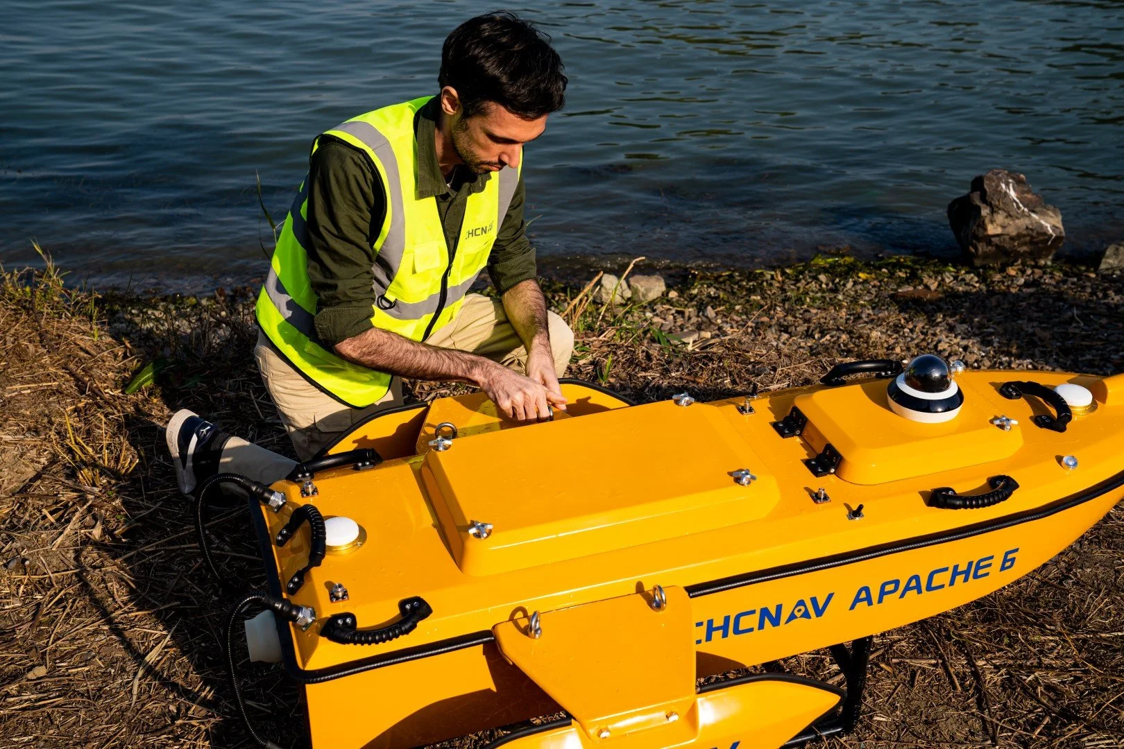
Made of macromolecule polyester carbon fiber and Kevlar fiberglass weighing 15 kg without sensors.


HIGH PERFORMANCE TRIPLE-HULLED VESSEL DESIGN
Versatile USV solution for offshore, coastal, and inland water and lakes surveys
Its dual detachable floating bodies keep the hull balanced even in the rapid current situation. Removing the floating bodies allows operation in shoals, channels, and shallow rivers without running aground.
OPTIMIZED FOR NORBIT MULTIBEAM ECHOSOUNDERS
High-end turnkey multibeam USV solution for high resolution bathymetry
APACHE 6 design is optimized for the NORBIT iWBMSe, iWBMS and iWBMSh-STX series offering with high end performances to match the most demanding hydrographic survey requirements.


OPTIONAL TERRESTRIAL MAPPING LASER SENSOR
Collect up to 300 000 points per second at a 30 x 360 degree coverage
The optional NORBIT iLiDAR mapping sensor provides high accuracy combined marine and terrestrial 3D survey in a single pass saving significant processing time when performing harbor and river surveys with height clearance evaluation.
OVERVIEW
The APACHE6 USV is a full-integrated innovative solution for 3D bathymetric survey, underwater object positioning, offshore construction, underwater archaeology and wrecked rescue. The APACHE6 is powered with high-performance dual propeller system ensuring a stable constant automatic cruise speed of up to 2.5m/s (7.6 fps). The survey projects can also be completed in manual mode using the APACHE6 remote control panel over 2 km distance.
The APACHE6 multibeam USV reduces survey time, improves work efficiency and outputs high resolution data to always match the most demanding marine survey project requirements.
Photos


Video

Coming Soon!
Downloads
For detailed specifications click the button below
Contact us for more information or schedule a demo
Related Products


