i85: Laser IMu GNSS
Highlights
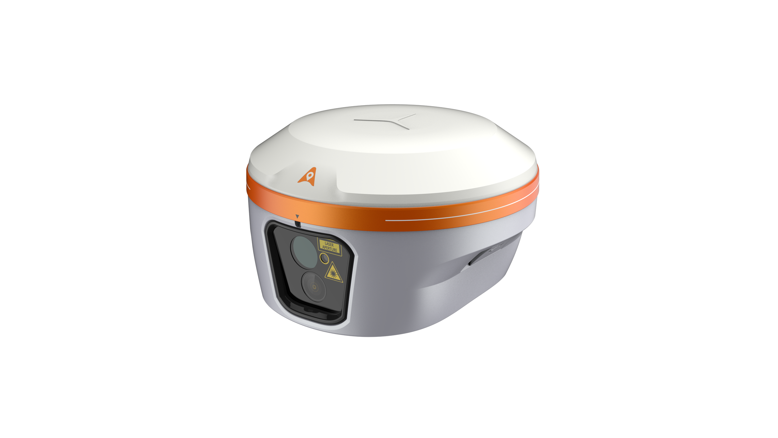
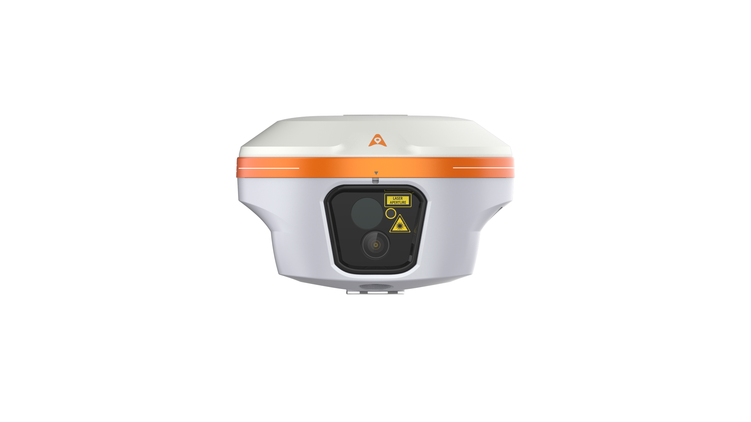
The CHCNAV i85 is a compact, high-performance GNSS solution for daily land surveying. Featuring a 1408-channel GNSS module, advanced IMU, integrated dual cameras, and laser rangefinder, it delivers reliable positioning in challenging environments, even under high solar activity. Weighing 800 g with an IP68 rating and 20-hour battery life, the i85 ensures efficient, dependable RTK performance in the field.

Augmented Reality
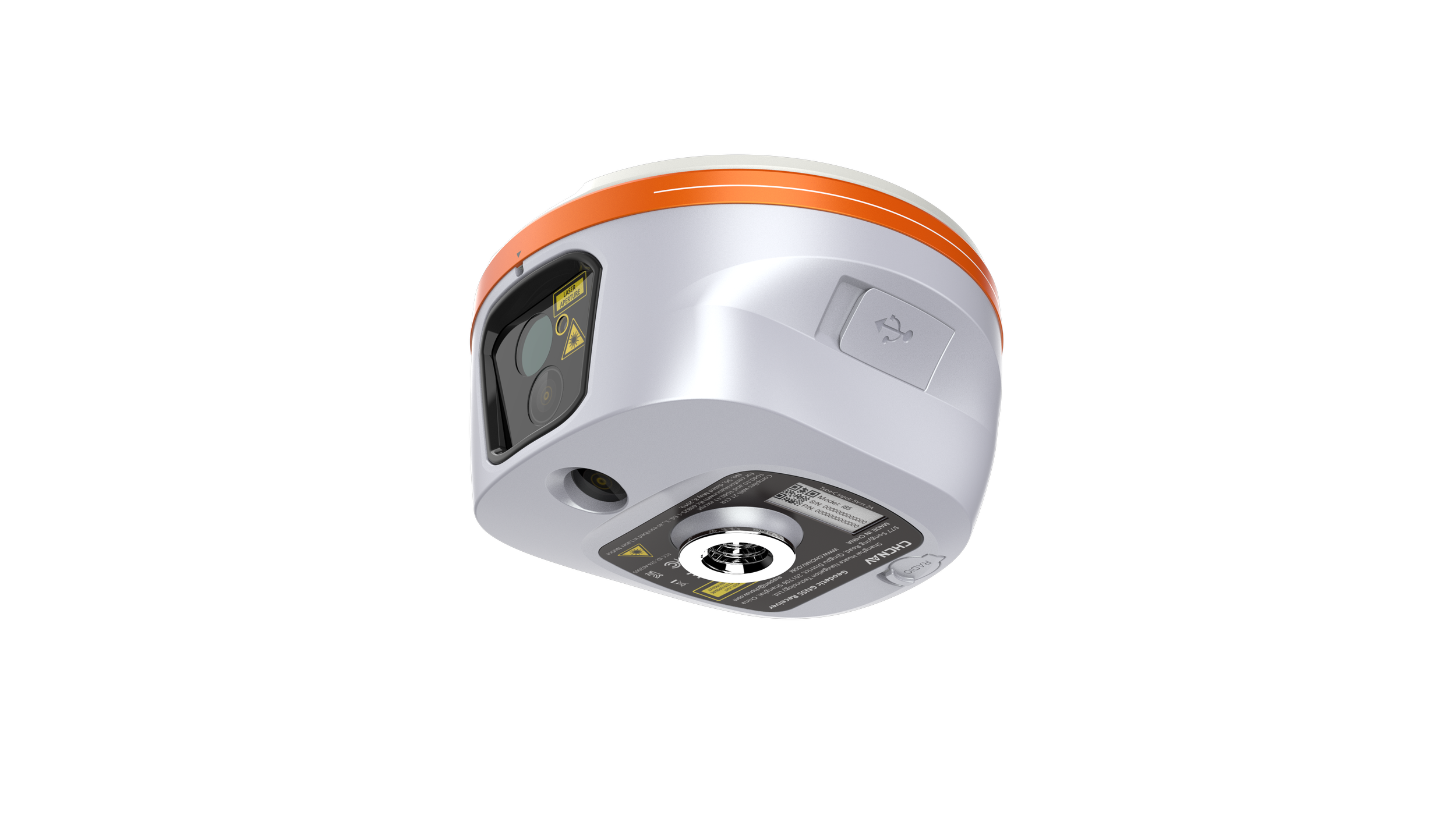
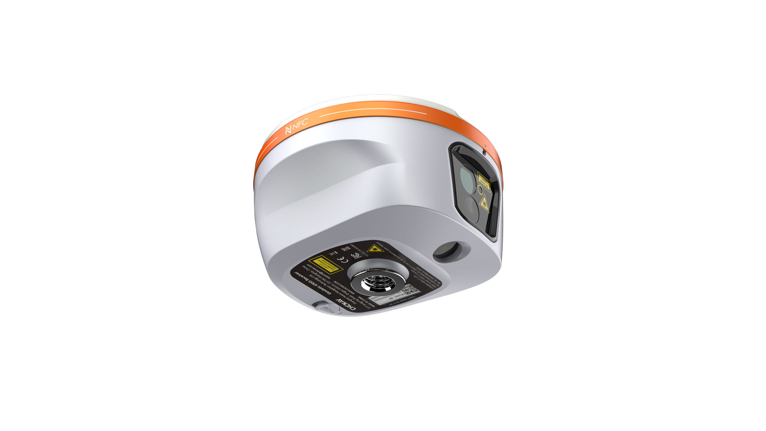
8 MP + 2 MP cameras with a 91° field of view.

Laser Surveying
Laser rangefinder captures survey-grade 3D coordinates from hard-to-reach points.

Ultra-IMU
Next-generation IMU for high accuracy and tilt compensation.

Easy Laser Aiming
Green laser + 8MP camera edge computing processing boost laser aiming efficiency by 50%.
-
With its laser-based surveying capabilities and high-precision heading information, the i85 enables accurate measurements of points that are otherwise inaccessible, expanding your reach without sacrificing accuracy.
-
Powered by the iStar2.0 algorithm and ionospheric interference rejection, the i85 achieves a 96% fix reliability in low-latitude regions affected by solar activity. It ensures robust signal tracking in challenging environments.
-
A true 8-megapixel front-facing camera supported by edge computing provides adaptive 6x zoom and enhanced imagery. Low visibility and distant points can be identified and targeted with precision.
-
The i85’s AR-based navigation and stakeout tools simplify workflows and reduce operator effort by up to 50%. With accuracy up to 10 times greater than conventional gyroscope-based systems, it improves results even for less experienced users.
-
The 200Hz IMU supports automatic tilt compensation with no manual initialization required. The i85 maintains 3 cm accuracy within a 60° tilt range, delivering consistent results.
-
Built for demanding field use, the i85 combines all key components into a single compact 800 g unit. It is IP68-rated for water and dust resistance and can withstand a 2-meter pole drop.
Specifications
Positioning
GNSS : Full GNSS
IMU : 200 Hz
Precision max. : 0.8 cm H / 1.5 cm V
Connectivity
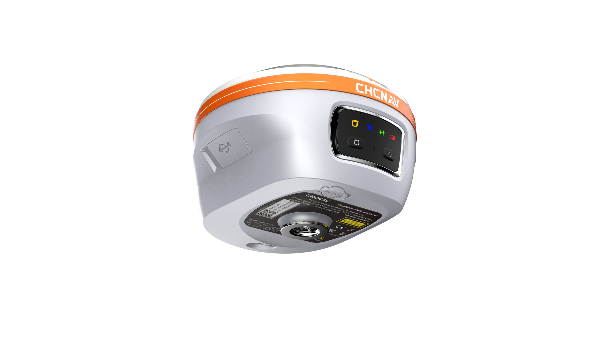
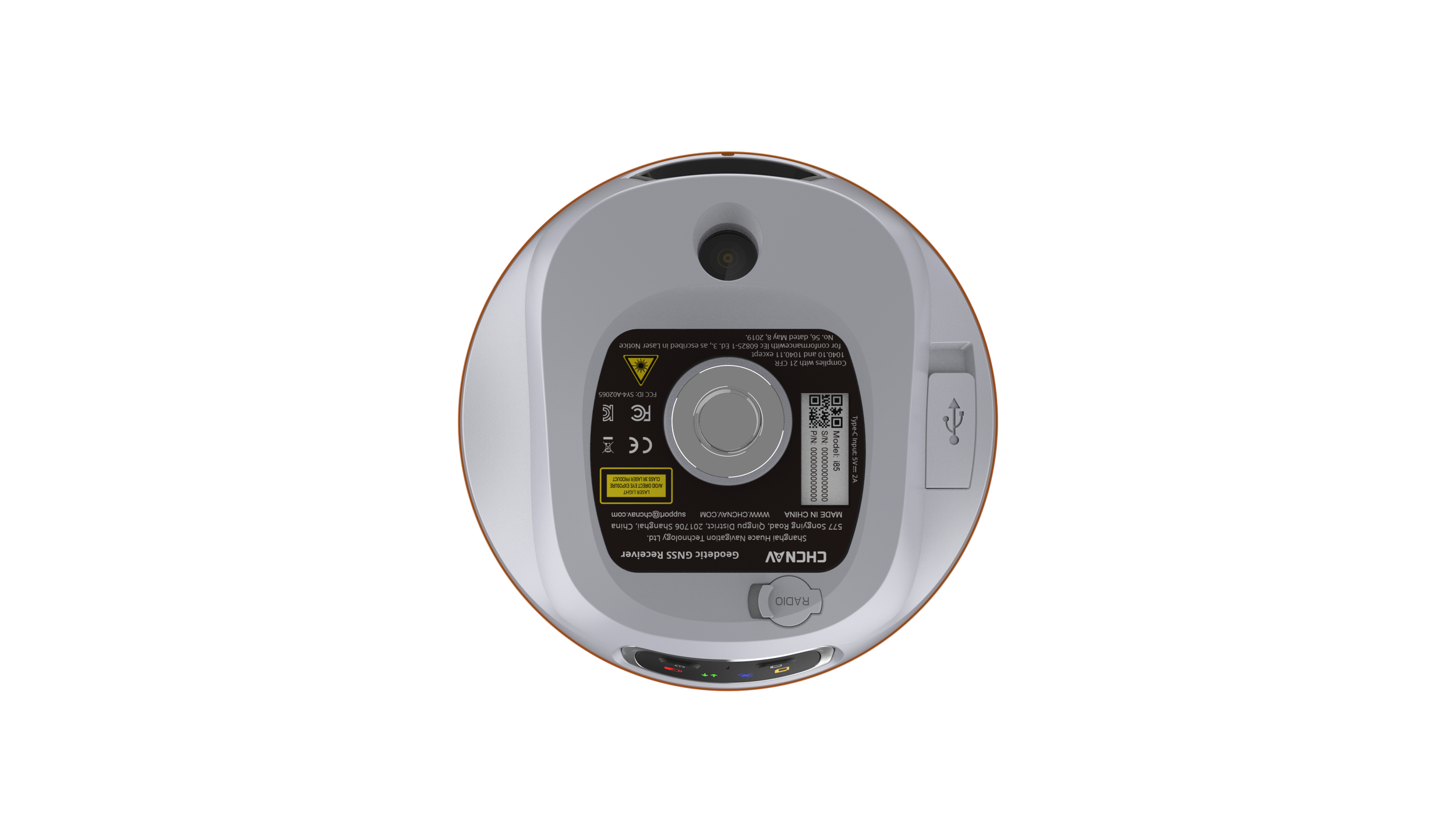
Wireless : Bluetooth, Wi-Fi, NFC
Modem : 410-470 MHz, Rx/Tx
Physical
Weight : 0.800 kg
Dimensions : 133 x 85 mm
Battery life : Up to 20 hours RTK rover
For detailed specifications click the button below
Need Surveying Solutions?
Get in touch and we will provide a customised solutions tailored to your needs